Feasibility Study, Monitoring ,Engineering & Construction Execution
We translates engineering blueprints to the physical world. We mark exact coordinates, angles, and elevations for building foundations, road alignments, and bridges
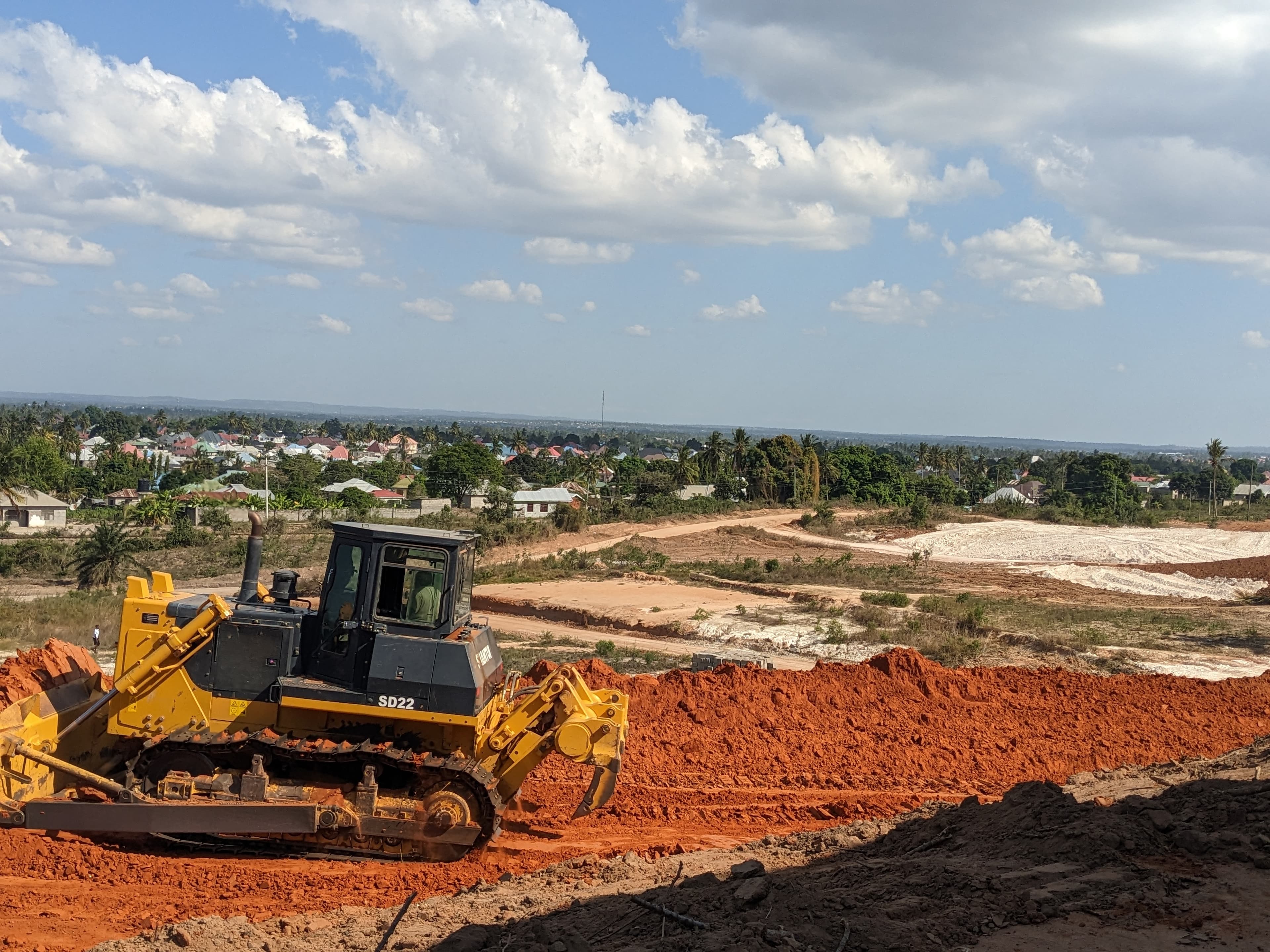
We Computes cut-and-fill volumes to level sites efficiently, saving time and material costs
Pinpoints underground and overhead utility lines (water, gas, electricity) so new designs avoid existing service networks
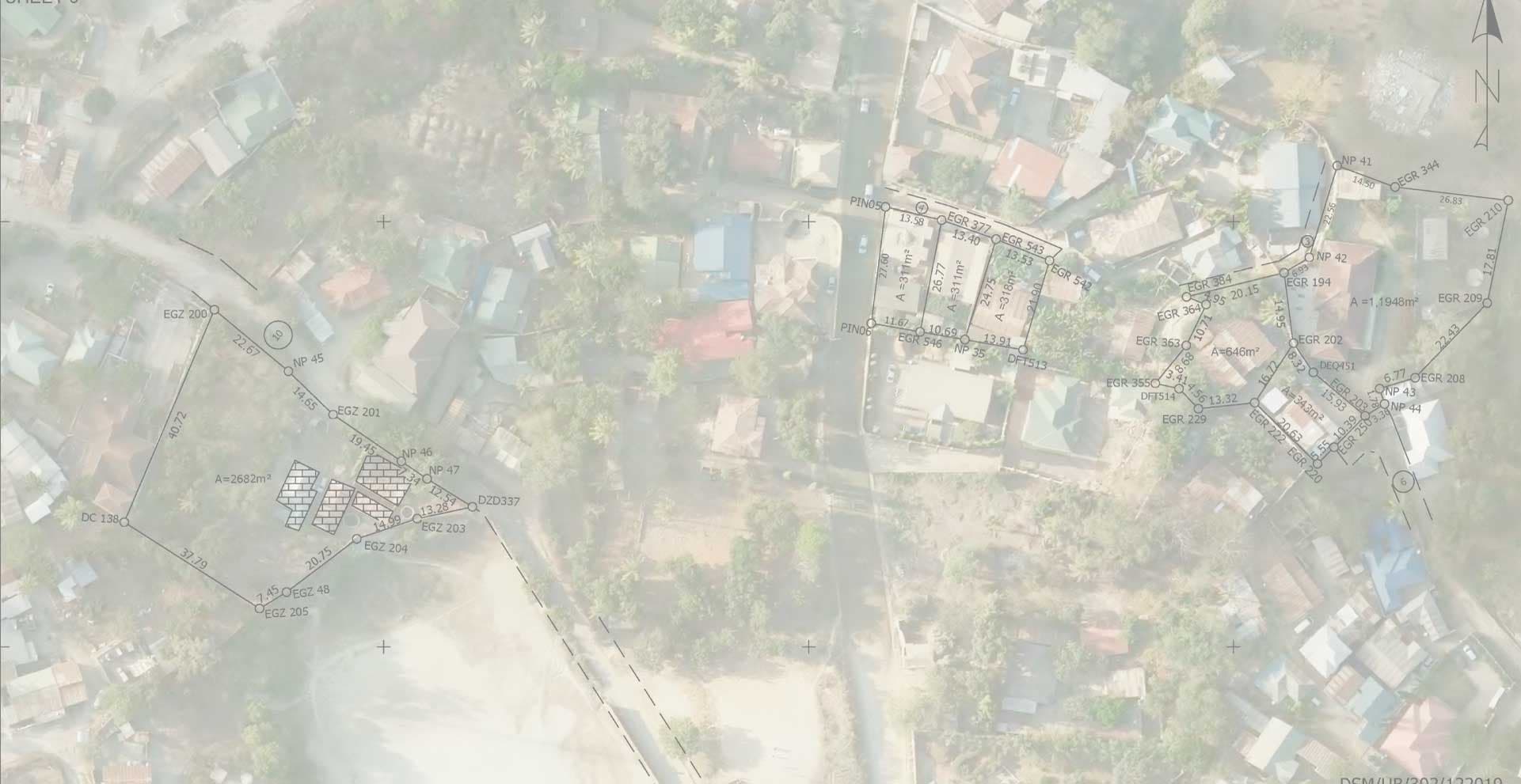
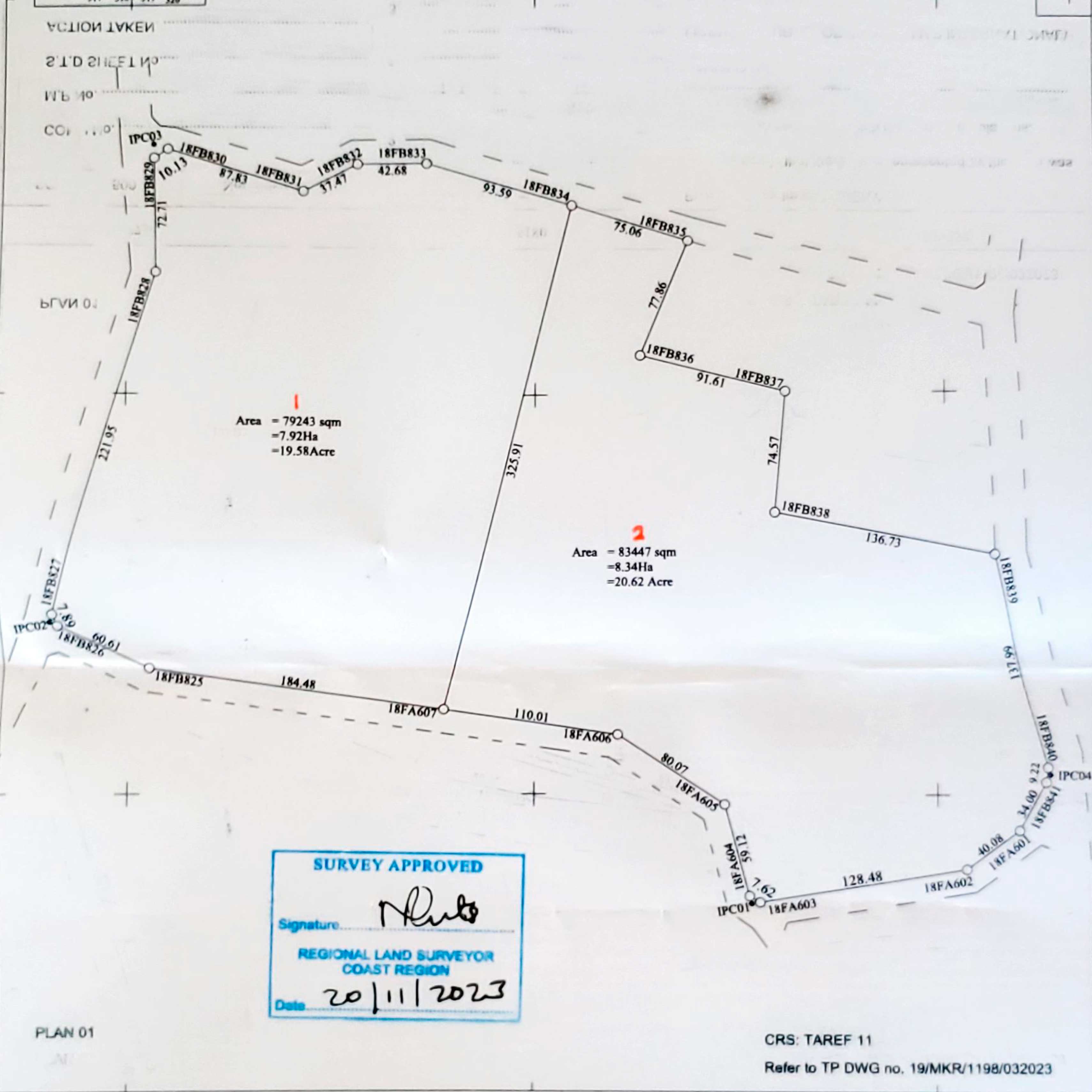
We identifies legal property lines to ensure planning stays within owned or zoned limits, preventing future legal disputes
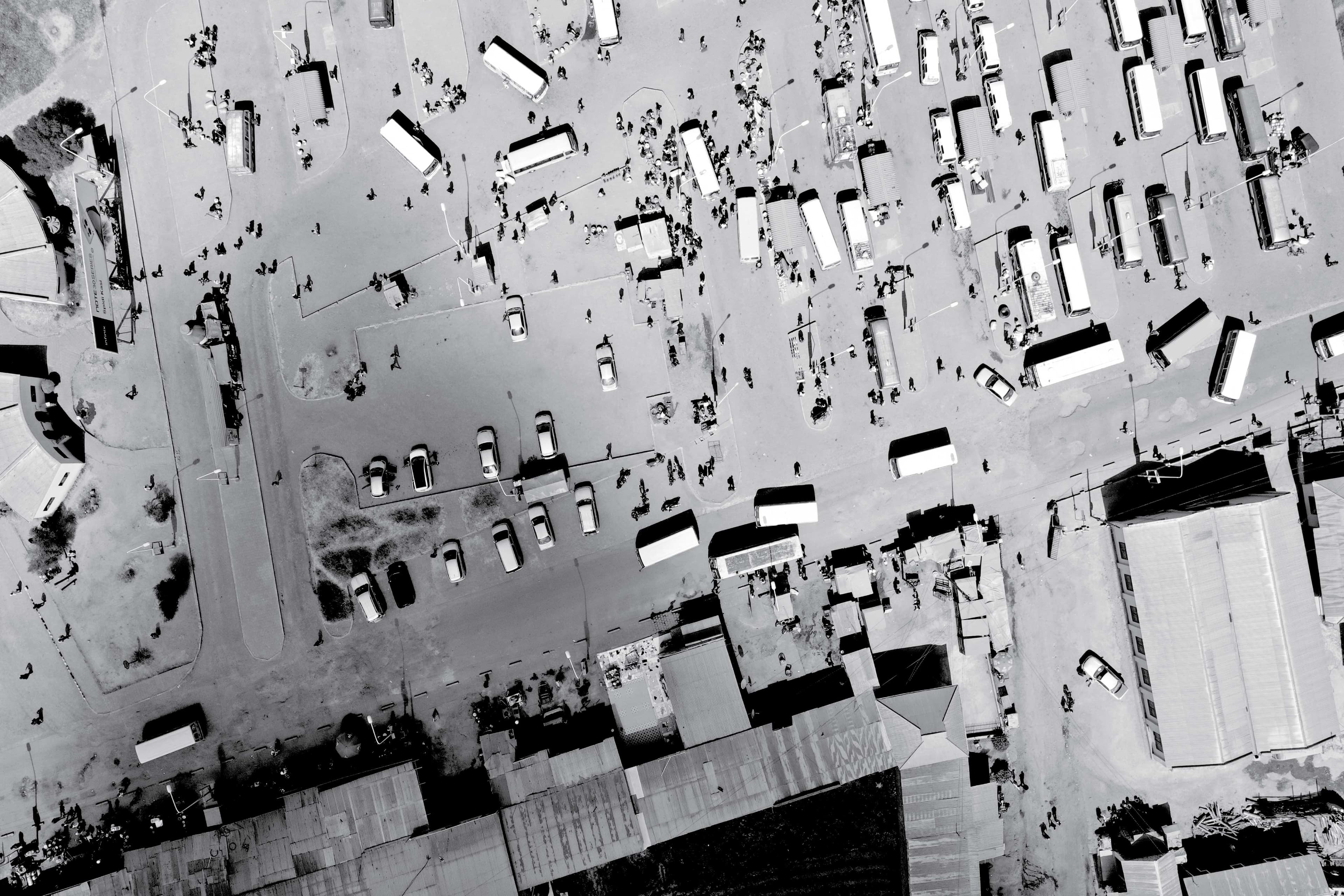
We map natural and man-made features to understand land elevation, drainage patterns, and slopes. This prevents costly errors like building in flood plains
Provides a spatial database for Governments to manage and upgrade public infrastructure
Uses precision instruments to detect structural deformation over time in bridges, dams, or tall structures